Manipulation and analysis of geometric objects in the Cartesian plane.

Shapely is a BSD-licensed Python package for manipulation and analysis of planar geometric objects. It is based on the widely deployed GEOS (the engine of PostGIS) and JTS (from which GEOS is ported) libraries. Shapely is not concerned with data formats or coordinate systems, but can be readily integrated with packages that are. For more details, see:
Shapely 1.5.x requires
- Python >=2.6 (including Python 3.x)
- GEOS >=3.3 (Shapely 1.2.x requires only GEOS 3.1 but YMMV)
Windows users should download an executable installer from http://www.lfd.uci.edu/~gohlke/pythonlibs/#shapely or PyPI (if available).
On other systems, acquire the GEOS by any means (brew install geos on OS X or apt-get install libgeos-dev on Debian/Ubuntu), make sure that it is on the system library path, and install Shapely from the Python package index.
$ pip install shapelyIf you've installed GEOS to a non-standard location, you can use the geos-config program to find compiler and linker options.
$ CFLAGS=`geos-config --cflags` LDFLAGS=`geos-config --clibs` pip install shapelyIf your system's GEOS version is < 3.3.0 you cannot use Shapely 1.3+ and must stick to 1.2.x as shown below.
$ pip install shapely<1.3Or, if you're using pip 6+
$ pip install shapely~=1.2Shapely is also provided by popular Python distributions like Canopy (Enthought) and Anaconda (Continuum Analytics).
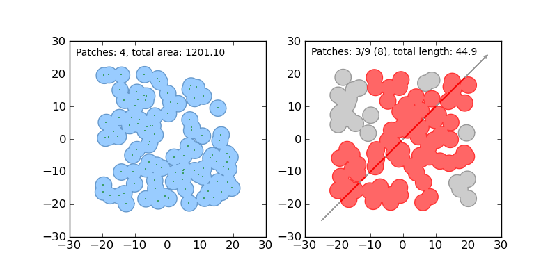
Here is the canonical example of building an approximately circular patch by buffering a point.
>>> from shapely.geometry import Point
>>> patch = Point(0.0, 0.0).buffer(10.0)
>>> patch
<shapely.geometry.polygon.Polygon object at 0x...>
>>> patch.area
313.65484905459385
See the manual for comprehensive usage snippets and the dissolve.py and intersect.py examples.
Shapely does not read or write data files, but it can serialize and deserialize using several well known formats and protocols. The shapely.wkb and shapely.wkt modules provide dumpers and loaders inspired by Python's pickle module.
>>> from shapely.wkt import dumps, loads
>>> dumps(loads('POINT (0 0)'))
'POINT (0.0000000000000000 0.0000000000000000)'
Shapely can also integrate with other Python GIS packages using GeoJSON-like dicts.
>>> import json
>>> from shapely.geometry import mapping, shape
>>> s = shape(json.loads('{"type": "Point", "coordinates": [0.0, 0.0]}'))
>>> s
<shapely.geometry.point.Point object at 0x...>
>>> print(json.dumps(mapping(s)))
{"type": "Point", "coordinates": [0.0, 0.0]}Dependencies for developing Shapely are listed in requirements-dev.txt. Cython and Numpy are not required for production installations, only for development. Use of a virtual environment is strongly recommended.
$ virtualenv .
$ source bin/activate
(env)$ pip install -r requirements-dev.txt
(env)$ pip install -e .
We use py.test to run Shapely's suite of unittests and doctests.
(env)$ py.test testsShapely 1.2.x is a maintenance-only branch which supports Python 2.4-2.6, but not Python 3+. There will be no new features in Shapely 1.2.x and only fixes for major bugs.
Shapely 1.4.x is a maintenance-only branch supporting Pythons 2.7 and 3.3+.
Please discuss Shapely with us at http://lists.gispython.org/mailman/listinfo/community.
Bugs may be reported at https://github.com/Toblerity/Shapely/issues.