PostGIS-ish operations outside a database context for Pythoneers and Pythonistas.
Shapely is a BSD-licensed Python package for manipulation and analysis of planar geometric objects. It is based on the widely deployed GEOS (the engine of PostGIS) and JTS (from which GEOS is ported) libraries. This C dependency is traded for the ability to execute with blazing speed. Shapely is not concerned with data formats or coordinate systems, but can be readily integrated with packages that are. For more details, see:
- Shapely wiki
- Shapely manual
- Shapely example apps
Shapely 1.2 depends on:
- Python >=2.5,<3
- libgeos_c >=3.1 (3.0 and below have not been tested, YMMV)
Windows users should use the executable installer, which contains the required GEOS DLL. Other users should acquire libgeos_c by any means, make sure that it is on the system library path, and install from the Python package index:
$ pip install Shapelyor from a source distribution with the setup script:
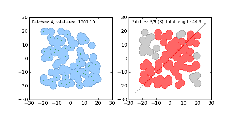
$ python setup.py installHere is the canonical example of building an approximately circular patch by buffering a point:
>>> from shapely.geometry import Point
>>> patch = Point(0.0, 0.0).buffer(10.0)
>>> patch
<shapely.geometry.polygon.Polygon object at 0x...>
>>> patch.area
313.65484905459385
See the manual for comprehensive usage snippets and the dissolve.py and intersect.py example apps.
Shapely does not read or write data files, but it can serialize and deserialize using several well known formats and protocols. The shapely.wkb and shapely.wkt modules provide dumpers and loaders inspired by Python's pickle module.:
>>> from shapely.wkt import dumps, loads
>>> dumps(loads('POINT (0 0)'))
'POINT (0.0000000000000000 0.0000000000000000)'
All linear objects, such as the rings of a polygon (like patch above), provide the Numpy array interface.:
>>> from numpy import asarray
>>> ag = asarray(patch.exterior)
>>> ag
array([[  1.00000000e+01,   0.00000000e+00],
       [  9.95184727e+00,  -9.80171403e-01],
       [  9.80785280e+00,  -1.95090322e+00],
       ...
       [  1.00000000e+01,   0.00000000e+00]])
That yields a numpy array of [x, y] arrays. This is not always exactly what one wants for plotting shapes with Matplotlib (for example), so Shapely 1.2 adds a xy property for obtaining separate arrays of coordinate x and y values.:
>>> x, y = patch.exterior.xy
>>> ax = asarray(x)
>>> ax
array([  1.00000000e+01,   9.95184727e+00,   9.80785280e+00,  ...])
Numpy arrays can also be adapted to Shapely linestrings:
>>> from shapely.geometry import asLineString
>>> asLineString(ag).length
62.806623139095073
>>> asLineString(ag).wkt
'LINESTRING (10.0000000000000000 0.0000000000000000, ...)'Shapely uses a Zope-stye suite of unittests and doctests, exercised via setup.py.:
$ python setup.py testNosetests won't run the tests properly; Zope doctest suites are not currently supported well by nose.
Bugs may be reported and questions asked via https://github.com/Toblerity/Shapely.
