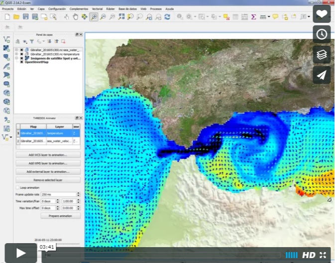
THREDDS Explorer is a QGIS-based plug-in designed to make it easy for users to access georeferenced data accessible through any THREDDS based server.
Data catalogues and maps are exposed to the user through a simple user interface, which allows him to choose any map or explore all contents of the server without resorting to exploring the default web based THREDDS interface.
This plug-in should work with most THREDDS servers, and will be able to retrieve any layer provided through WMS, WMS-T and/or WCS services published by the server.
To install this plug-in, copy the content to your QGIS plug-in directory: Usually these are the locations for plugins repository:
- For windows:
$ C:\Program Files\QGIS\python\plugins $ C:\Documents and Settings\$username\.qgis\python\plugins - For Linux:
$ /share/qgis/python/plugins $ ~/.qgis/python/plugins - For Mac OS X:
     $ /Contents/MacOS/share/qgis/python/plugins

     $ /Users/$username/.qgis/python/plugins
NOTE:
it is possible to define additional paths for QGIS to look for your plug-ins, by defining the _QGIS_PLUGINPATH_ environment variable with a full path to the new desired plug-in folder.
For more information you can find a .pdf manual under de "doc" folder.