GIS4WRF is a free and open source QGIS plug-in to help researchers and practitioners with their Advanced Research Weather Research and Forecasting modelling workflows. GIS4WRF can be used to pre-process input data, run simulations, and visualize or post-process results. We offer MPI-enabled pre-built binary distributions for Windows, macOS and Linux through WRF-CMake.
For information on how to install GIS4WRF, or check out the main documentation and tutorials, please refer to the GIS4WRF website at https://gis4wrf.github.io.
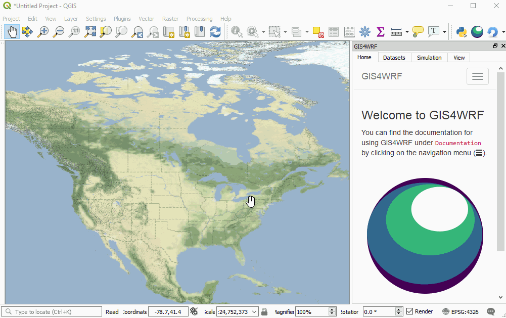
Configure, run and visualize a WRF simulation in GIS4WRF
We ask to please acknowledge our work by citing and referencing both, the GIS4WRF paper and the GIS4WRF software in the following way:
-
For in-text citations, please cite both the paper and the software.
E.g.: "We used GIS4WRF (Meyer and Riechert, 2018a, 2018b) for ..."
-
For the full citation in the reference list, adapt using your chosen style from the example below.
E.g. — reference list using the American Meteorological Society (AMS) style:
Meyer, D., and M. Riechert, 2018a: GIS4WRF: an integrated open source QGIS toolkit for the Advanced Research WRF Framework. Manuscript submitted for publication. Meyer, D., and M. Riechert, 2018b: The GIS4WRF Plugin. doi:10.5281/zenodo.1288569. -
Alternatively, you can add the following to your BibTex file:
@unpublished{meyer_riechert_2018_article,
    author  = {D. Meyer and M. Riechert},
    title   = {GIS4WRF: an integrated open source QGIS toolkit for the Advanced Research WRF Framework},
    note    = {Manuscript submitted for publication}
}

@misc{meyer_riechert_2018_software,
    author  = {D. Meyer and M. Riechert},
    title   = {The GIS4WRF Plugin},
    year    = 2018,
    doi     = {10.5281/zenodo.1288569},
    url     = {https://doi.org/10.5281/zenodo.1288569}
}
If you would like to contribute to the GIS4WRF project, clone this repository, make your changes, and create a pull request with a clear description of your changes. If your changes are merged, you will appear as one of our Contributors.
This project uses semantic versioning.
Copyright 2018 D. Meyer and M. Riechert. Licensed under the MIT License.