You signed in with another tab or window. Reload to refresh your session.You signed out in another tab or window. Reload to refresh your session.You switched accounts on another tab or window. Reload to refresh your session.Dismiss alert
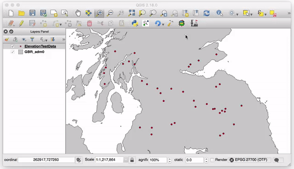
Calculate the elevation of point objects within Great Britain in QGIS using the historical and now withdrawn Ordnance Survey Land-Form Panorama and Profile 10m and 50m NTF DTM files.
About
QGIS Plugin to calculate the elevation of points within Great Britain from 10m & 50m OS NTF files